
De Pere ZIP Coverage Records
De Pere commonly uses 54115, but the ZIP code is a postal route label rather than a city-limit test. The official USPS ZIP Code Lookup supports three useful checks: search a full address, find every ZIP assigned to a city and state, or identify a city from a ZIP. Use the full-address mode for a person or parcel search because it can standardize the delivery line and unit format. Then use Brown County records to establish the municipality and physical location.
| ZIP Code | Areas Covered | Post Office | Notes |
|---|---|---|---|
| 54115 | De Pere delivery addresses and some nearby areas | USPS service identified by exact address | Do not infer city limits from the postal city alone |
| ZIP+4 | A smaller delivery segment, often one block or building group | Returned for a complete deliverable address | Useful for mail precision, not resident identity |
| Historic address | May require a plat, directory, or map before a current ZIP can be assigned | Not a current USPS match until translated | Check old addition and neighborhood names |
USPS warns that a ZIP result does not confirm that a person or company occupies an address. That limit matters here. De Pere sits on both sides of the Fox River, and old records may say De Pere, West De Pere, Dickinson's Addition, Urbandale, or Irwin. A postal match should therefore be paired with a dated record. The city, county, and postal descriptions can all be accurate while answering different questions.
Search De Pere ZIP Fields
The USPS tool is the best source for present delivery formatting. Its modes should be used in a set order, since a city-wide result is broad and an address result is exact. Include an apartment or suite when known. Missing unit data can lead to an incomplete match even when the base street address is valid.
| Search mode | Enter | Result to keep |
|---|---|---|
| By address | Street, unit, city, and state | Standard address and ZIP+4 |
| By city and state | De Pere, Wisconsin | Current postal ZIP listing |
| City by ZIP | ZIP code | USPS preferred city name |
The captured USPS search screen shows these three lookup paths.
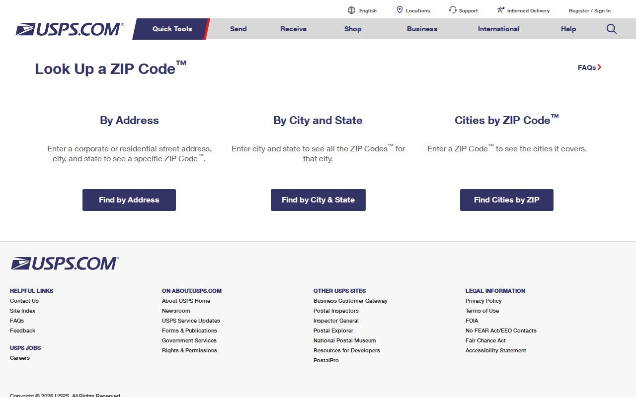
Use the result as a clean input for the county parcel search, not as a resident roster.
Pair De Pere ZIP and Parcel
Brown County Land Records accepts parcel, address, public-land-survey, and municipality searches. It shows the situs address, which means the physical location, along with mailing and legal-description fields. A search can also switch between current and historical property information. This is the decisive check when a ZIP code directory result appears to cross a government boundary.
Do not substitute the tax-bill mailing address for the property address. The research sample makes the risk plain: parcel ED-274 has a physical address of 0 Chicago Street, while its mailing address points to City Hall. One identifies the land; the other identifies where correspondence goes. A ZIP-wide list that mixes those fields will place owners in the wrong spots.
For a visual check, Brown County GIS and BrownDog provide parcel and map context. Older county map apps are being consolidated into BrownDog 2.0, so save the parcel number and legal description rather than relying on a screen label that may move.
Find De Pere Residents by ZIP
No inspected official source publishes a ready-made list of every resident in 54115. Build a careful result from a known address or name instead. Property records can associate an owner with a parcel, MyVote can confirm an individual voter's own registration match, and historical directories can place a named householder at an address for a stated year. Each source has a different scope.
- Standardize the full delivery address in the USPS lookup and retain its ZIP+4.
- Search the same street address in Brown County Land Records and note the situs municipality, parcel number, and owner result.
- Open BrownDog to see whether the parcel lies within De Pere and to understand nearby municipal or zoning lines.
- For voter data, use MyVote for a personal name-and-birth-date match or follow the Wisconsin Elections Commission data-request route.
- When the goal becomes a whole named road, continue with the De Pere street directory.
Wisconsin voter registration records are public with statutory exclusions, yet confidential-elector addresses remain protected. A ZIP extract can describe a geographic slice, but it does not prove every adult, child, unregistered voter, or current occupant at each property. Keep the source date beside every result.
De Pere ZIP Scale
ZIP-wide searching is broad in a city of De Pere's size. U.S. Census QuickFacts reports 25,410 residents in the 2020 Census, a 2025 estimate of 25,590, and 11.96 square miles of land. Brown County's land index covers more than 101,300 parcels countywide. These figures show why a ZIP alone is a weak key: many unrelated names and parcels can share the same postal code.
Narrow the result with a street number, unit, municipality, or parcel ID. For older records, add an original plat or addition name. Dickinson's Addition is a useful deed and legal-description term, while Urbandale and Irwin can surface older references to the areas now known as Randall and Michigan-Superior.
Historic De Pere ZIP Clues
ZIP codes do not reach back through all of De Pere's record history. The Village of De Pere incorporated in 1857, West De Pere in 1870, and the present city in 1883. A person or building from those eras must be located through maps, plats, census schedules, newspapers, and directories before a modern postal code has any value.
The Brown County Library holds federal census material from 1820 through 1940, Wisconsin state census schedules from 1855 through 1905, local newspapers, atlases, and De Pere-inclusive city directories. The 1895 De Pere Sanborn map set can test a historic street and building footprint. No official citywide street-renumbering conversion table was located, so staff help is safer than guessing that an old number equals today's parcel.
De Pere ZIP Lines and Limits
A ZIP code boundary is built for mail delivery. De Pere's legal boundary controls city services, zoning, municipal records, and which local authority handles an address. Brown County's Planning and Land Services addressing application expressly applies to unincorporated towns, not the City of De Pere, which handles its own municipal addressing. That split is another reason to confirm the government unit instead of relying on the postal city.
- ZIP code
- A USPS delivery area that may cross municipal boundaries.
- ZIP+4
- An added four digits that narrow delivery to a smaller segment.
- PO-box ZIP
- A code used for post-office boxes rather than a physical neighborhood.
- Carrier route
- A mail-delivery path, not a city ward or parcel boundary.
Wisconsin records should be searched by the jurisdiction that keeps them. Use De Pere for city documents, Brown County for land and deed records, and state systems for voter and vital-record routes. That layered check turns a postal clue into a reliable place.