
Walk a De Pere Street
A by-address search works best as a chain. Brown County Land Records supplies the parcel and recorded owner. BrownDog and tax maps place that parcel among nearby lots. The Register of Deeds then carries the owner name into recorded transfers. Voter or directory sources can add dated household evidence, but they should not be treated as a live roll of every person in the home.
- Enter the house number, street name, type, and direction in Brown County Land Records, with De Pere selected as municipality.
- Open the parcel card and copy the parcel number, legal description, owner name, and physical address.
- Browse the parcel and nearby lots in BrownDog or the tax-map index. Note roads, plat names, lot numbers, and parcel boundaries.
- Use the owner or legal-description clues in the Register of Deeds index to follow recorded transfers.
- Check MyVote only through its own name and birth-date match, or consult a criss-cross directory for a dated address entry.
This sequence makes the De Pere street directory reproducible. Save the search date, exact input, parcel ID, source URL, and what each record actually established.
De Pere Street Search Fields
The Brown County Land Records portal exposes the main by-street controls. It does not begin with an owner's name. The form accepts a parcel or alternate parcel number, or separates an address into house number, directional prefix, street name, type, and directional suffix. A municipality selector prevents a postal De Pere label from being mistaken for the city itself.
| Search Control | Format | Street Directory Value |
|---|---|---|
| House number | Number | Narrows one site |
| Prefix and suffix direction | Select | Separates similar streets |
| Street name and type | Text plus select | Matches the county address form |
| Municipality | Select De Pere | Tests municipal identity |
| Current or historical | Checkbox | Finds changed parcel identities |
| Plat and PLS | Plat, section, township, range | Uses legal-land clues |
The official parcel search capture displays these fields.
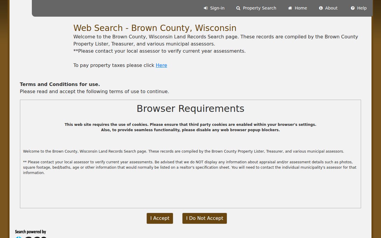
The form shows why a full, structured address is more dependable than a loose keyword search.
De Pere Records by Street
Each address-keyed source adds a different layer. Land Records gives the parcel card. GIS supplies spatial context. Deeds show recorded transfers, while zoning and permits explain regulated use or work. Historical directories may identify a listed householder for one printed year. The De Pere street directory should show these distinctions instead of blending every name into a claim of residence.
| Address Record | Custodian | What It Can Show | Access Channel |
|---|---|---|---|
| Parcel card | Brown County Land Records | Owner, situs, mailing address, legal description | Online; local assessor for added valuation detail |
| GIS and tax maps | Brown County Land Information | Parcel shape, road, plat, map layers | BrownDog, tax-map web, archived maps |
| Deeds and plats | Register of Deeds | Grantor, grantee, document, transfer trail | Tapestry/Laredo; office terminal by appointment |
| Zoning | City of De Pere | Parcel-linked district and changes | ArcGIS layer; city records request |
| Building records | De Pere Building Inspection | Work tied to an address | Request by address and date |
| Historical directories | Brown County Library | Dated address and listed householder | Local history room and library resources |
There is no public address-indexed city permit database in the research. Ask Building Inspection for the property and approximate date. City plans, Sanborn maps, Wisconsin Historical Society property files, and library holdings may fill an older gap.
BrownDog Maps De Pere Streets
Brown County GIS links BrownDog maps, tax maps, archives, plat books, aerials, and downloads. The map supplies spatial context that a parcel row cannot. Use it to inspect the block, then verify a boundary or ownership statement in the source record. GIS lines are useful reference features, not a guaranteed survey.
The county is consolidating older GIS applications into BrownDog 2.0. Its 2025-27 land-information plan also discusses privacy work tied to 2023 Wisconsin Act 235. Live layer names and public fields may change. Recheck the current viewer before recording a result, and use GIS documentation or the Land Information Office when a retired tool no longer opens.
The older tax-map search still adds owner, subdivision, tract, lot, book, page, date, road, and slide inputs.
Road and plat fields can rescue a street directory search when the current house number is not the best key.
De Pere Zoning by Parcel
The De Pere zoning layer is linked by parcel ID. Its visible fields include the new district, effective date, zoning text, amendment fields, and pre-existing planned-development information. Those facts can explain why nearby lots differ in mapped use. They do not identify everyone who lives on a block.
The official service listing makes the layer's field names and district values visible.
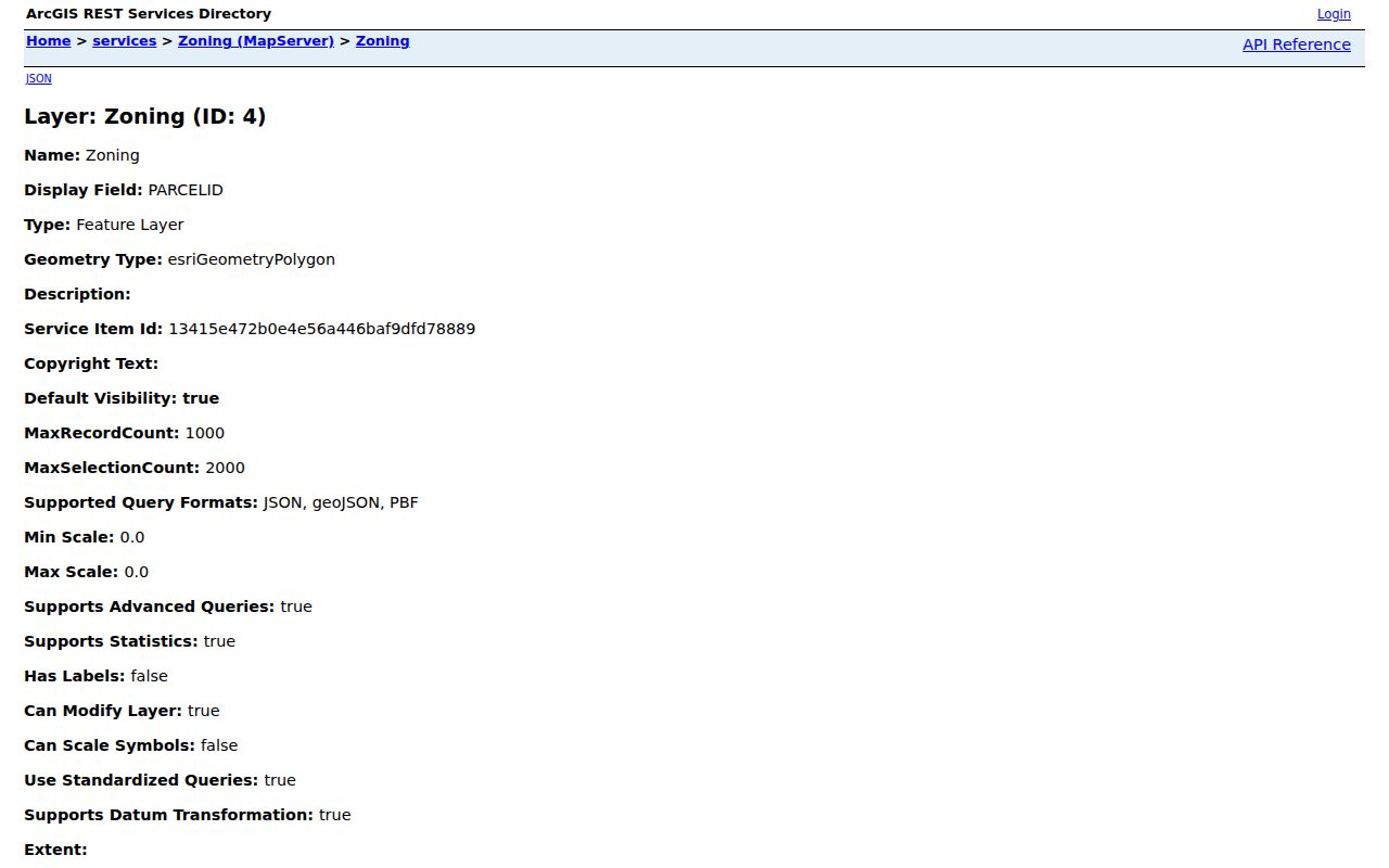
Pair the parcel ID from Land Records with the zoning service, then ask the city for the underlying amendment or permit if the map alone is unclear. This keeps a De Pere by-street search tied to a dated city record.
De Pere Situs Address Lesson
Brown County parcel ED-274 is a useful warning. Its physical, or situs, address is 0 Chicago Street, while the billing owner is the City of De Pere and the mailing address is City Hall at 335 S Broadway. The card also gives a legal description in Dickinson's Addition, area, district rows, and parcel status. It does not show an individual occupant or phone number.
Situs means the place where the parcel sits. A mailing address is where the owner receives tax mail. Copying the mailing field into a list of who lives on the street would create a false entry. Keep both fields in separate columns throughout a street directory search.
Record check. A government, trust, estate, or company can own a De Pere parcel, so the owner field may never name a resident.
De Pere Deeds Along Streets
After an address yields an owner and parcel number, move to the Brown County Register of Deeds. Its grantor/grantee index and document images begin February 1, 1962. A grantor transfers an interest; a grantee receives one. Tapestry is intended for occasional searches, while Laredo serves frequent users.
The official access page describes those routes and the public terminal.
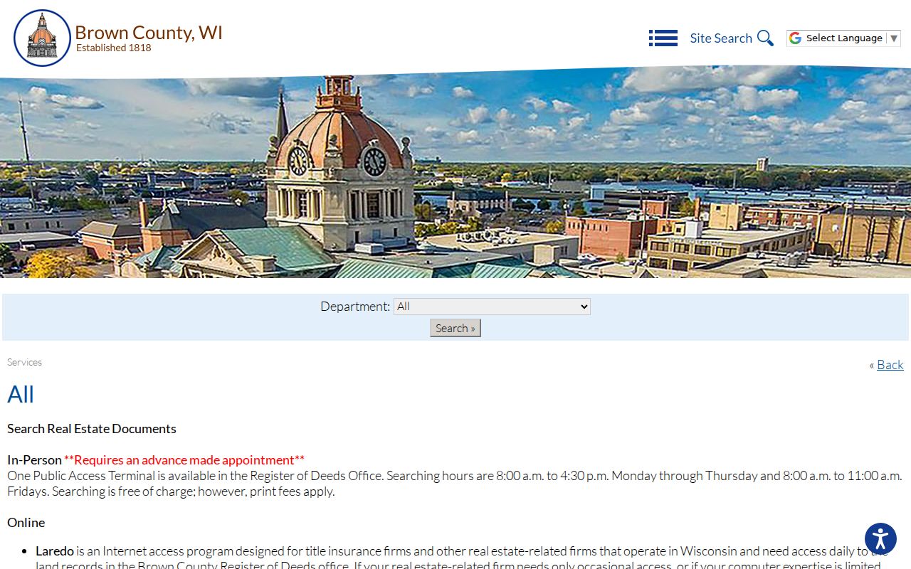
An office search is free, but an appointment is required and copies cost extra. Searching hours are 8:00 a.m. to 4:30 p.m. Monday through Thursday and 8:00 a.m. to 11:00 a.m. Friday. Older genealogy work also requires in-person arrangements.
Use instrument number, book and page, legal description, or the names from one indexed deed to step along the chain. A deed records an interest in land. It still does not prove that each owner occupied the home.
Historic De Pere Street Names
No official citywide street-renaming or renumbering conversion table was located. That gap should stay visible. When an old address fails, compare the printed directory form with plats, tax maps, Sanborn maps, and the city's historic survey instead of guessing at a modern number.
Residents used Urbandale for the Randall area and Irwin for Michigan-Superior. Dickinson's Addition can appear in legal descriptions. Search those addition names beside modern De Pere street names in Land Records, BrownDog archives, newspapers, and directory indexes. They are working search terms, not just local color.
The Neighborhood Preservation Plan documents North Broadway, Randall, and Michigan-Superior street patterns. It does not provide a private resident roster.
Criss-Cross De Pere Directory
A criss-cross directory lists entries by address or phone rather than by surname. Brown County Library's Local History and Genealogy collection holds De Pere and Green Bay directories, old phone books, census sources, newspapers, atlases, Sanborn maps, and cemetery files. These volumes add dated household evidence after a modern parcel search.
Keep the historical shelf brief in a current street directory task. Record the volume year, printed address, listed name, and abbreviations, then verify that entry in another source. The De Pere city directory collections explain the historical runs in full. Library staff and the local history room provide the fallback when no searchable scan exists.
De Pere Street Terms
Four terms prevent common address errors. Define them before building a street-by-street ledger, and preserve the source's own spelling.
- Parcel
- A mapped unit of land with its own county identifier.
- Situs address
- The physical location of the parcel, distinct from the owner's mailing address.
- Plat
- A recorded map that divides land into lots, blocks, roads, or other features.
- Criss-cross directory
- A printed directory ordered by street address or phone rather than a person's surname.
A useful ledger keeps parcel ID, situs, mailing address, owner, source date, legal description, and confidence notes in separate fields. That structure makes corrections possible when a parcel splits or a street label changes.
De Pere Address Request Fallback
When no portal returns the needed De Pere street record, ask the office that created it. A useful request names the street address, municipality, approximate date span, record type, and preferred format. Ask Building Inspection for permit records, the City Clerk for city-origin files, the Register of Deeds for land documents, and the Clerk of Circuit Court for the official court file.
Wisconsin Public Records Law covers existing records, not a new whole-street list made for the requester. Inspection, phone, mail, fax, and email channels vary by office. The Register of Deeds terminal requires an appointment; library and archive work fills historical gaps. A narrow request is easier to route and less likely to mix two De Pere addresses.
De Pere Street Directory Limits
A De Pere street directory cannot name every renter, child, guest, or other member of a household. The parcel roll is built around property, not occupancy. MyVote requires the searcher's match information and is not a public whole-street browse. DMV personal data is restricted by federal law, and the De Pere police form requires a permissible-use form when DMV information is involved.
Safe at Home and confidential-elector rules protect sensitive addresses. Act 235 privacy implementation may also change land-record display. Treat a blank or hidden field as a limit, not an invitation to recover the address elsewhere. For a city permit, court file, or police record, use that custodian's specific request process and accept lawful redaction.
Lawful use. Use De Pere address records for family, property, civic, or safety research, never to stalk, harass, threaten, or expose someone.
Ownership, mailing, voting, permitting, and directory entries each answer a narrow question. A careful by-street search states which one supports the conclusion and when it was current.
Check De Pere Street Results
Review the street ledger before treating it as complete. Confirm that every parcel row says City of De Pere, not merely a De Pere postal address. Check that the situs field, map location, legal description, and parcel ID point to the same lot. Mark each source date and whether the portal displayed a current or historical property.
If two owners appear, compare deed recording dates rather than choosing the newest-looking screen. Keep unknown occupants blank. A clear blank is better than a guessed name, and it gives the next library, office-terminal, or records-request search a precise place to begin.