
De Pere Neighbor Record Sources
A block search works best when each official source answers one narrow question. BrownDog maps the parcels around an anchor point. Brown County Land Records provides the corresponding parcel and owner fields. Wisconsin voter records have their own access rules and exclusions. Historic directories and maps can reconstruct an earlier block, but they cannot establish current neighbors.
| Source | What It Shows About a Block | Access |
|---|---|---|
| BrownDog parcel map | Parcel shapes, adjacency, roads, and map context | Brown County GIS online |
| Brown County Land Records | Owner, situs address, mailing field, legal description, and districts | Free parcel/address search |
| Wisconsin voter records | Registration data subject to exclusions and confidential-elector protection | MyVote personal match or WEC data request |
| De Pere zoning layer | Parcel-linked zoning class and district context | City ArcGIS service |
| Historic maps and directories | Earlier building footprints and named householders | Library, WHS, and Library of Congress |
Property ownership is not the same as occupancy. A parcel may be owned by a trust, business, government body, or person who receives mail elsewhere. The available research found no official private neighborhood-association member roster or block-watch directory for De Pere. Do not fill that gap with an inferred household list.
Anchor De Pere Neighbors by Parcel
Open Brown County GIS and BrownDog and locate the known street address. Select the anchor parcel, then record the parcel IDs touching its sides and rear. A visual map is more reliable than assuming that the next street number is adjacent. Corners, alleys, large tracts, condominium parcels, and curved roads can all break a simple number sequence.
Brown County is consolidating older map applications into BrownDog 2.0 during a period of parcel maintenance and privacy work. Keep the parcel IDs and date of access. Those stable details make the block reproducible even if a layer name or application link changes.
Separate De Pere Address Fields
Query each selected parcel in Brown County Land Records. Copy the situs address, owner display, legal description, municipality, and mailing address into separate columns. Situs means the physical site. The mailing field is where tax or official correspondence goes, and it may point far from the block.
The researched ED-274 parcel card is a strong local warning. It lists the physical site as 0 Chicago Street but uses City Hall as the mailing destination. Treating that mailing line as an occupant would create a false neighbor. Government ownership, trusts, and other non-person owners need the same restraint.
Map a De Pere Neighbor Block
The block method stays small by design. It answers which parcels touch one address and what the public property roll says about them. A whole-road review belongs in the De Pere street directory. For immediate De Pere neighbors, use this sequence and retain a source date.
- Find the anchor address in BrownDog and verify the parcel outline.
- Record each parcel that shares a boundary or clearly faces the same short block.
- Search each parcel ID in Land Records and separate owner, situs, and mailing fields.
- Use the City of De Pere zoning layer to explain unlike uses or unusually shaped lots.
- Mark uncertain occupancy as unknown rather than converting an owner name into a resident claim.
The De Pere zoning ArcGIS layer includes parcel-linked zoning fields and district vocabulary.
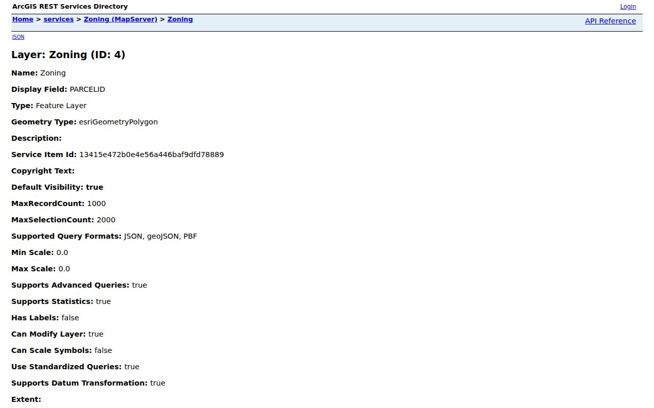
Zoning can explain why one side of a block contains a civic, commercial, industrial, or residential use. It still does not identify an occupant.
Historic De Pere Neighbor Names
North Broadway, Randall, and Michigan-Superior are three east-bank historic neighborhoods north of downtown identified in De Pere's preservation work. Residents also used the older names Urbandale and Irwin for the latter areas. Those terms belong in searches of plats, newspapers, directories, and local-history files.
Dickinson's Addition is another useful legal-description and map term. Old names are more than local color because they connect a modern block to the wording used when a deed, plat, or directory entry was created. Search both the current neighborhood and historic addition name.
De Pere Community Directory Limits
No official private association or member roster was located for De Pere neighborhoods. The city's Neighborhood Preservation Plan supplies public planning history, street patterns, and neighborhood names, not a household directory. The De Pere Area Chamber directory is likewise a business and service source, not a list of residents.
| Source type | Reliable use | Do not infer |
|---|---|---|
| Official parcel roll | Recorded owner and parcel facts | Every current occupant |
| City planning record | District, zoning, and public neighborhood history | Private membership |
| Commercial neighbor tool | Possible leads that require checking | Accuracy or official status |
| Historic directory | A named householder in a stated year | Who lives there now |
When no public roster exists, the correct result is a documented gap. For a civic matter, contact the city clerk or the public organization that created the record. Do not substitute scraped directory data.
De Pere Neighbor Voter Records
Wisconsin MyVote requires first name, last name, and date of birth for a personal registration match. It is not an open block browser. Wisconsin voter registration records are public subject to statutory exclusions, and voter-history data can be requested through the Wisconsin Elections Commission's Badger Voters process.
A voter file has strict scope limits. It omits people who are not registered, does not establish everyone in a household, and protects confidential electors' actual addresses. Keep the file date and never treat absence as proof that someone moved.
Privacy for De Pere Neighbors
Wisconsin's Safe at Home program provides a substitute address for eligible participants under Wis. Stat. §165.68, and confidential electors' actual addresses are protected. Wisconsin Public Records Law also uses record-specific exceptions and a balancing test. Utility, delivery, and other private customer data should never be treated as a public block directory.
The Brown County land-information plan discusses implementation of 2023 Wisconsin Act 235 privacy changes. As that work continues, a map field visible on one date may later be withheld or changed. Never try to defeat a suppression, protected-address flag, or redaction by combining other databases.
Lawful use. Look up De Pere neighbors only for civic curiosity, reconnecting, or another lawful personal purpose. Never use records to watch, harass, intimidate, or harm anyone.